Everything visible. Everything measurable. From anywhere.
Scan the facility. Operations centres, decision-makers and engineers can then inspect and measure it from their desks – in another city or another country. Without travelling to site.
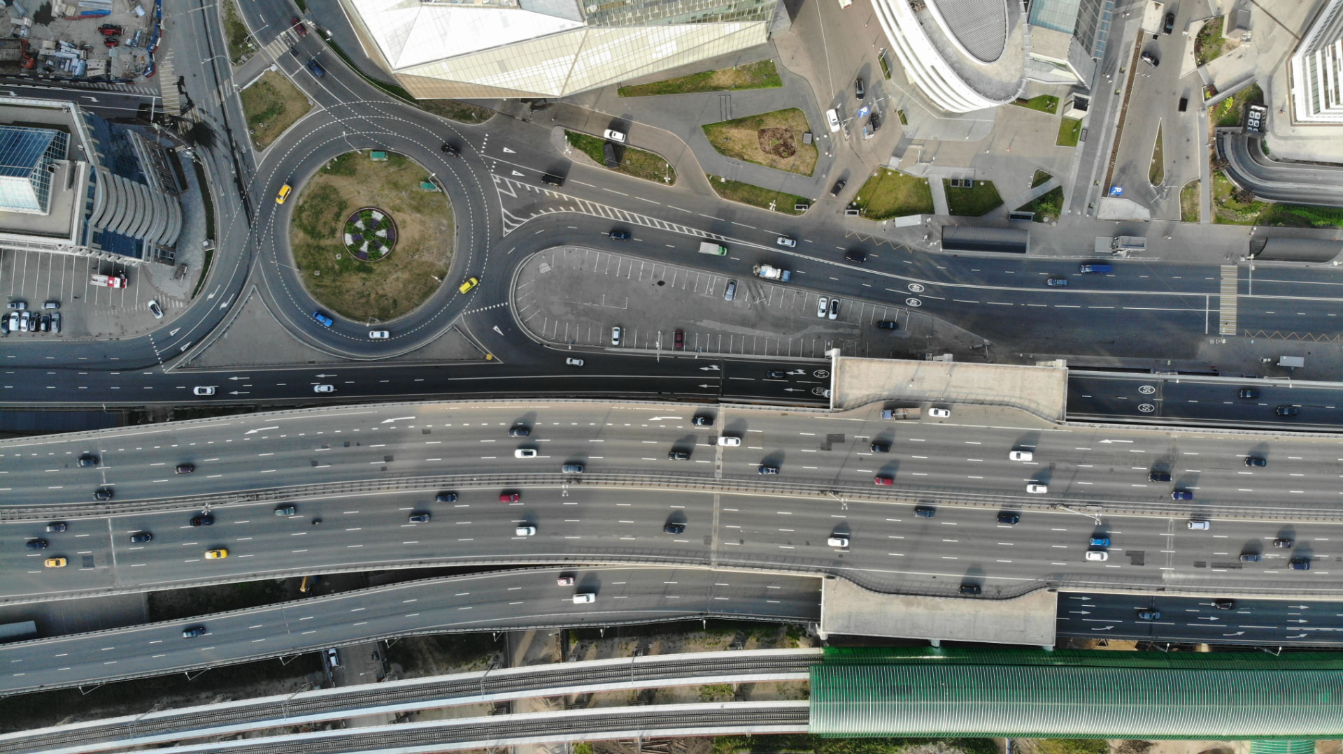
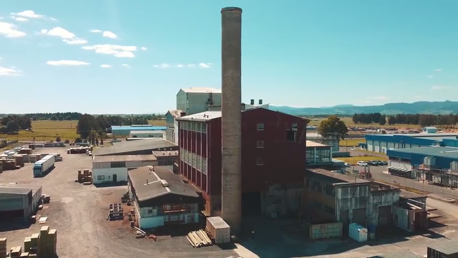
FEWER TRIPS. SAFER DECISIONS. FULL CONTROL.
VISIBLE
See the entire facility
Operations centres, decision-makers and engineers can walk through the model in the browser – as if they were on site.
MEASURABLE
Measure accurately from a distance
Distances, areas, heights and deformations are measured directly in the model, with no one having to travel out.
FROM ANYWHERE
The data reaches you where you are
The same scan reaches everyone who needs it, whether they are at the office, in another city or in another country.
Traditional
- Site visits and inspections at height for every review
- Manual measurements and still images that cannot be compared
- Travel, logistics and shutdowns to gain access
With TR3DE
- ✓ View and review the facility in the browser, around the clock
- ✓ Measure accurately in the model – from the office or abroad
- ✓ Comparable scans without new site visits
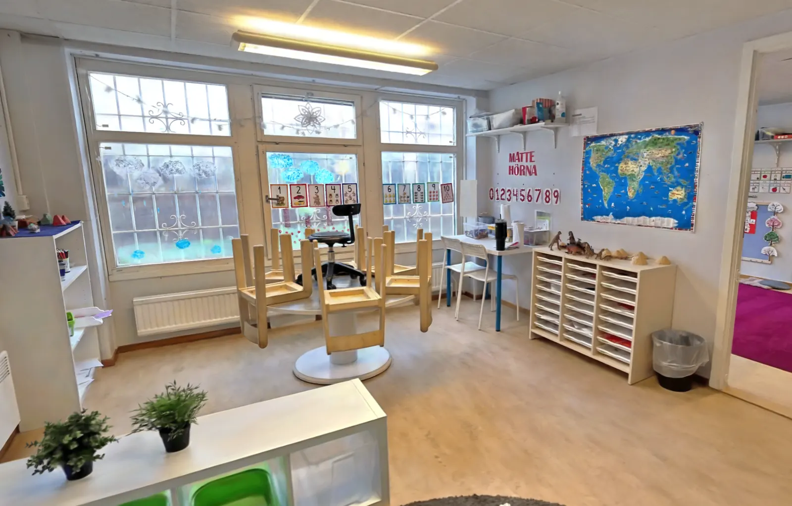
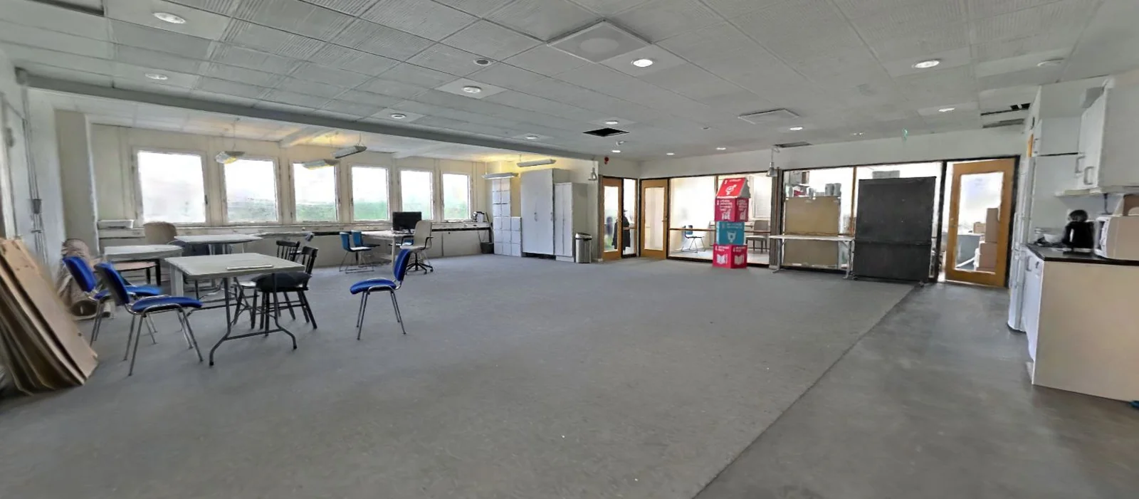
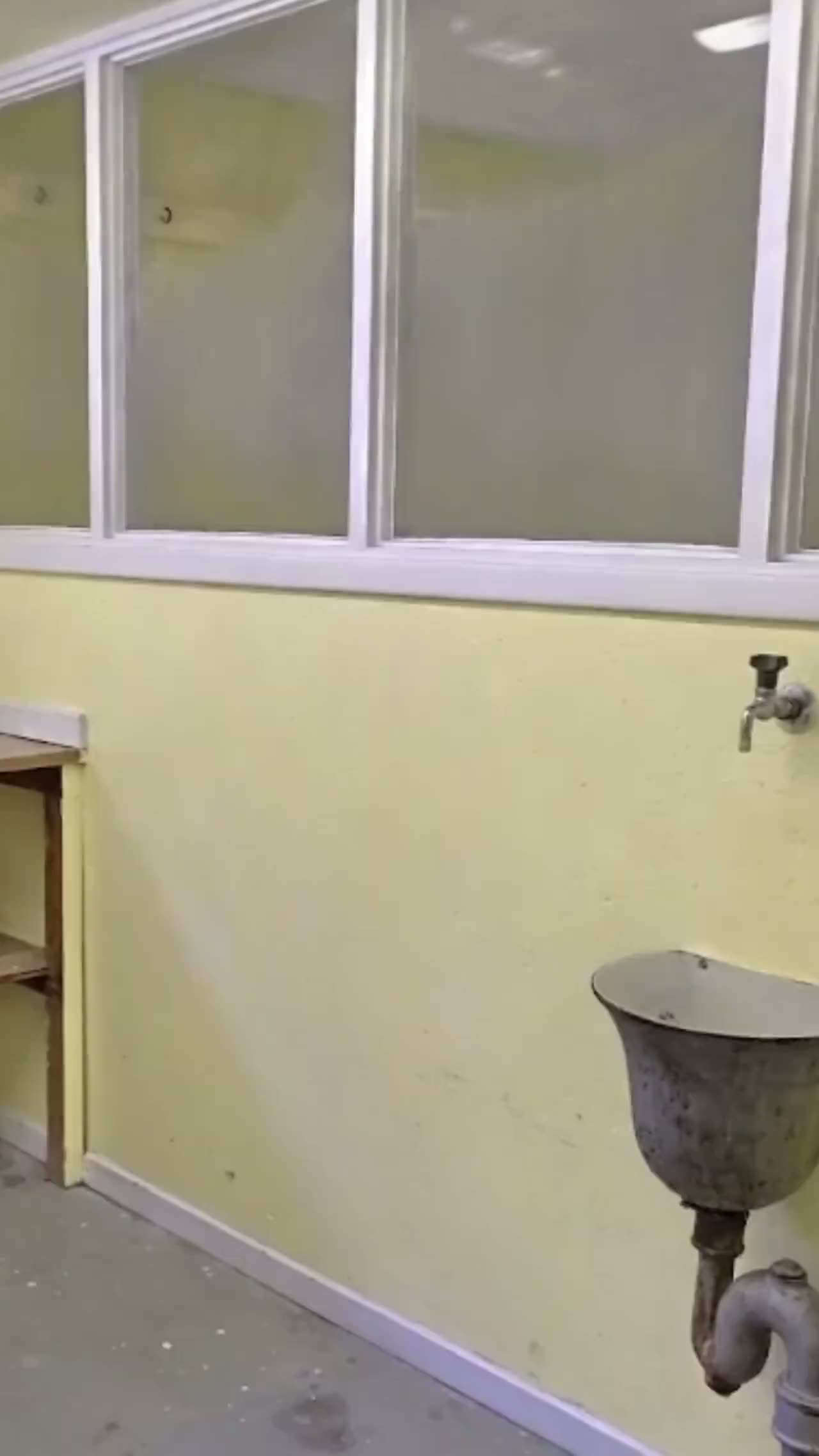
See the facility without travelling there
- The facility is scanned in operation with no shutdown, scaffolding or people working at height.
- Engineers and decision-makers walk through the model from their desks, even abroad.
- Compare scans over time to spot changes without new site visits.
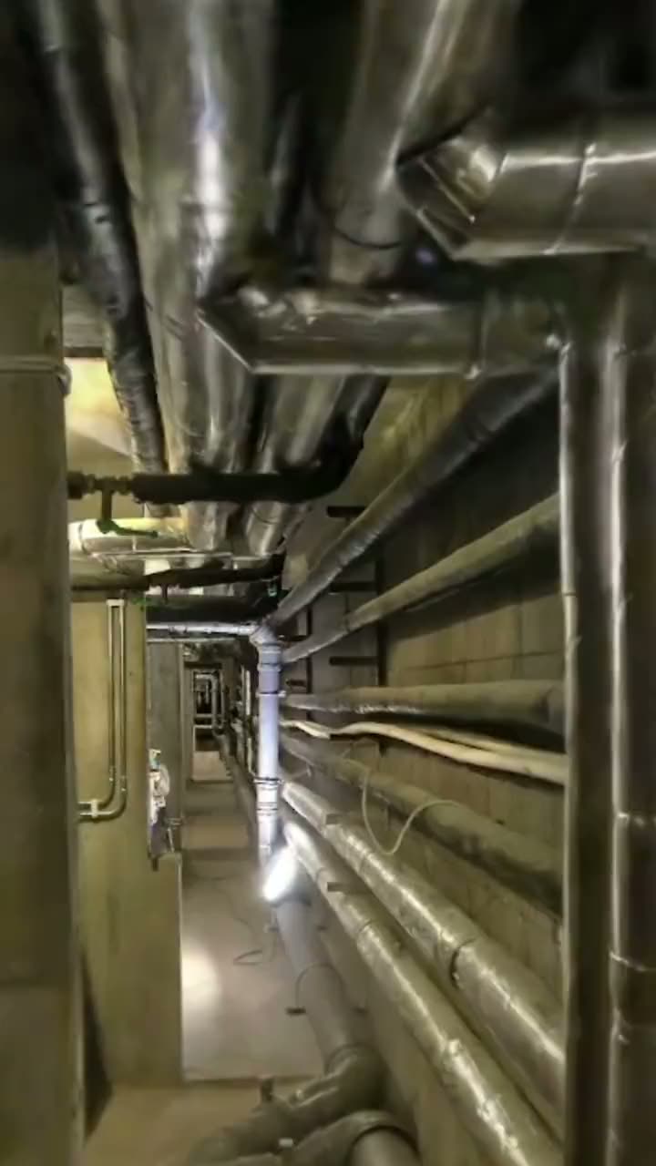
Measure and plan from wherever you are
- Distances, areas, heights and deformations are measured directly in the model.
- The data reaches everyone who needs it, whatever office, city or country they are in.
- Recurring scans keep the archive current and comparable over time.
What you get
Digital twin of the facility
Walk through the entire facility in the browser. Operations centres, decision-makers and engineers see the same object – wherever they sit.
Measure directly in the model
Distances, areas, heights and deformations are measured in a few clicks. No one has to travel out for new measurements.
Shareable data for every team
The same scan reaches operations, maintenance and project teams. Opens in your tools and in the browser with no app or login.
Fewer risky site visits
Advanced sensors and drones collect data where people would rather not go. Permits and risk assessment are included.
How we work
- 1
Scoping
Accuracy, scope, coordinate system and file formats are agreed before anyone leaves the office.
- 2
Capture
Drone and ground-based LiDAR on site, in operation and without shutdowns.
- 3
Registration
Individual scans are aligned into one coherent 3DGS-model which can be viewed through the browser.
- 4
Quality control
Point clouds and as-built drawings in your formats, plus archiving for the next inspection.
- 5
Delivery
Your formats, in your system. Ready to open, not ready to convert.
Frequently asked questions
Everything visible. Everything measurable. From anywhere.
Working with design and construction instead? Construction & property