Inspect without shutting down.
Inspection and maintenance data without downtime, power plants, bridges, tunnels and data centres.
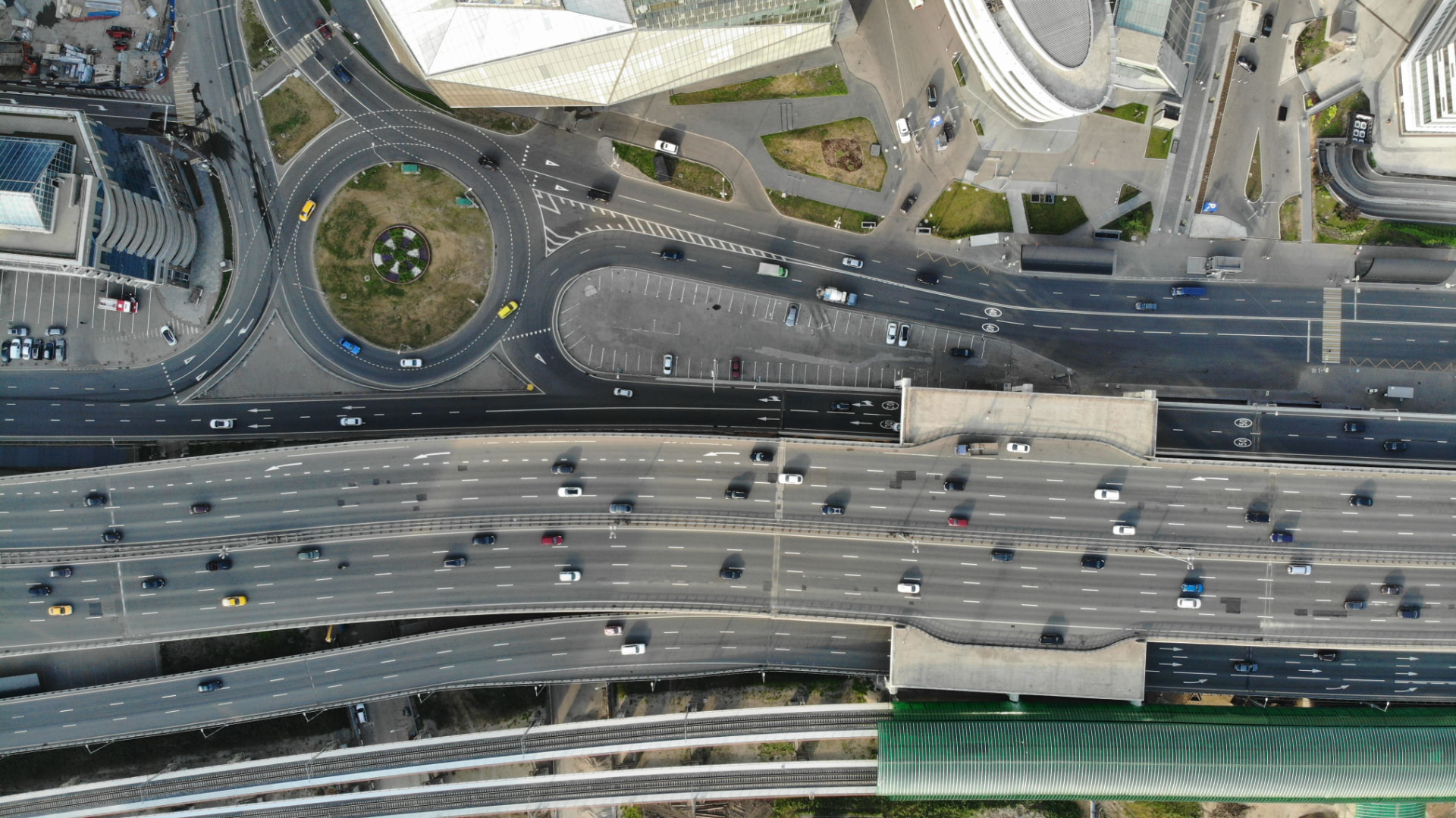
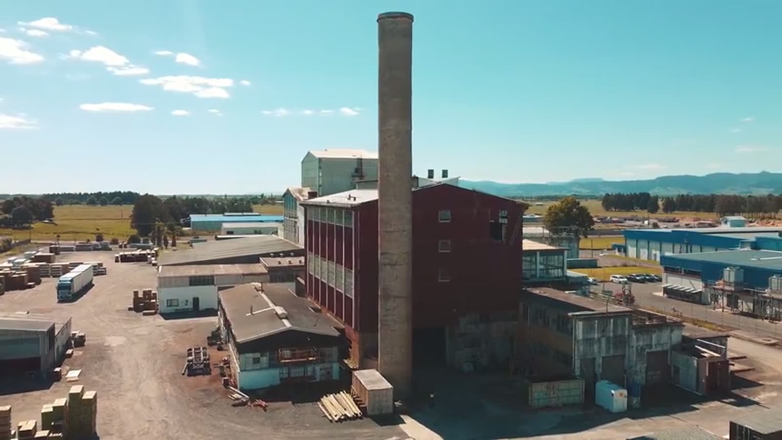
Drawing · Photograph · 3DGS
Drawing
Shows how it was intended, not how it looks today.
Photograph
Shows one angle, one moment, with no measurements.
3DGS
Shows the whole place photorealistically and measurably, at any time.
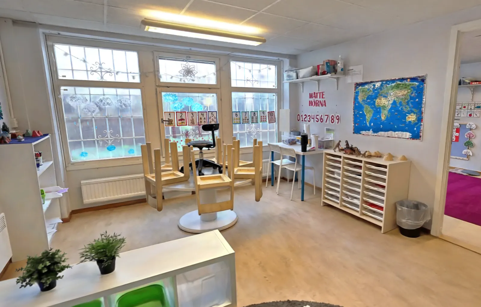
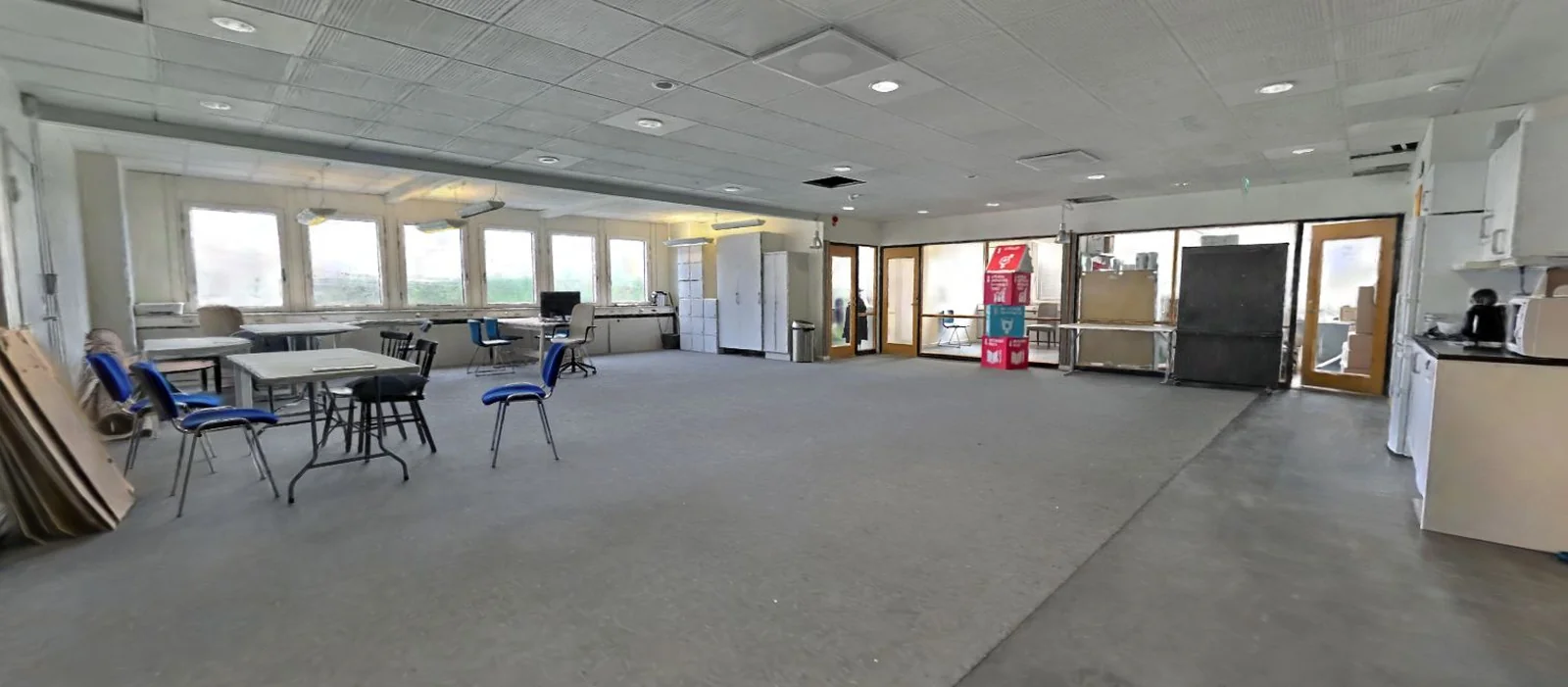
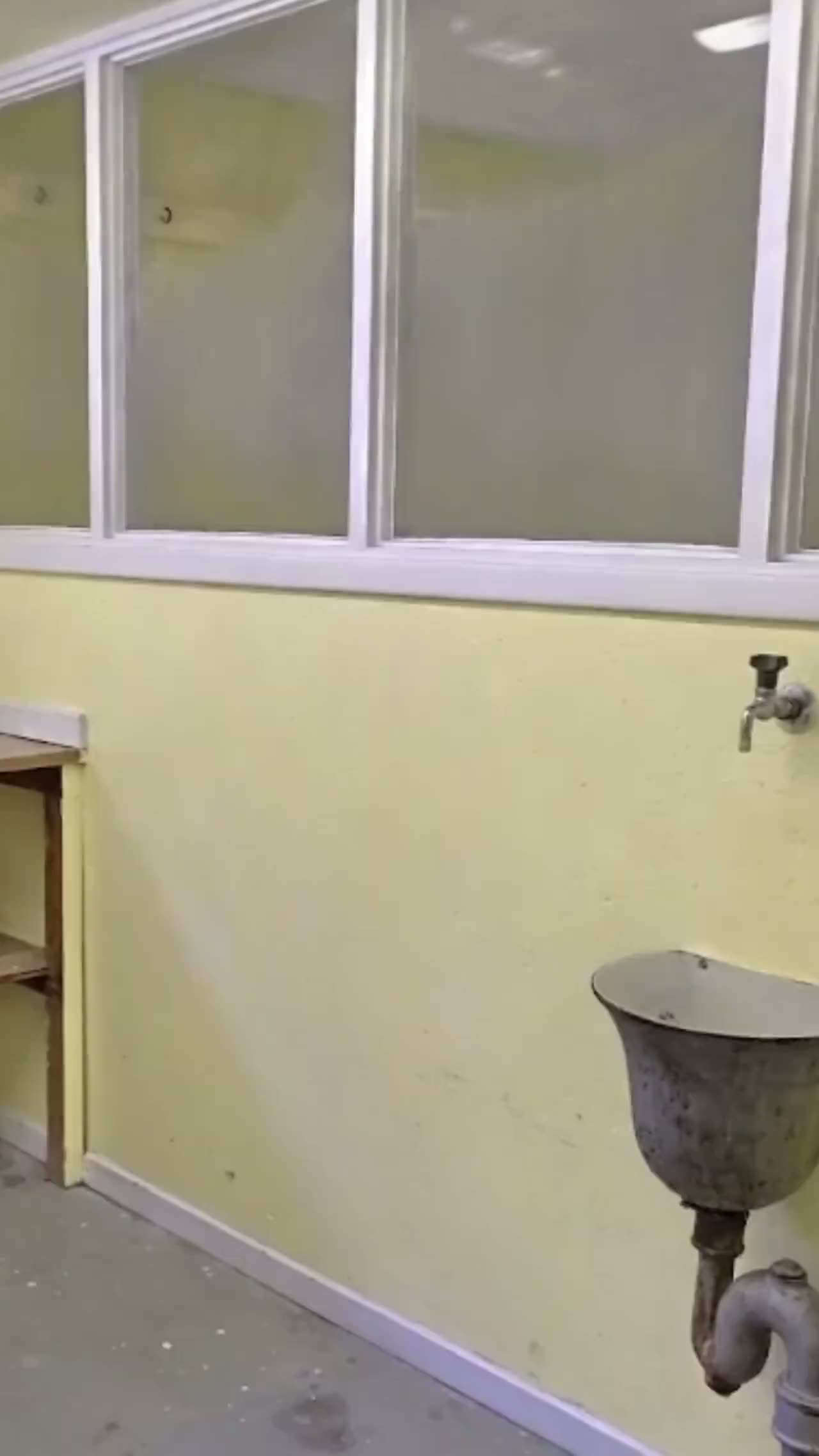
Condition documented without a shutdown
- The facility is scanned in operation, with no scaffolding and nobody working at height.
- Condition can be reviewed afterwards instead of on site.
- Two scans can be compared against each other instead of starting over.
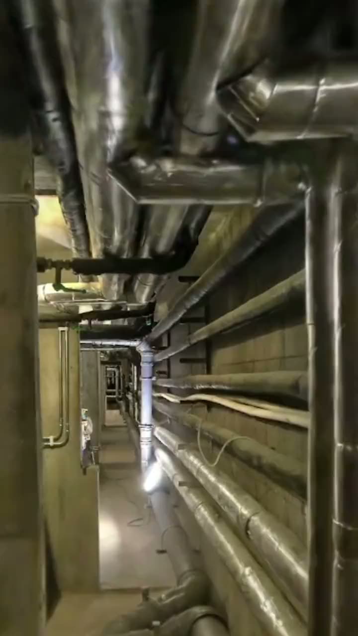
Data that holds between interventions
- Measurable point clouds in your coordinate system.
- Clearance and access can be planned before work begins.
- Rescanning keeps the archive current when something is rebuilt.
What you get
Digital twin
Distances, areas and heights from one and the same model. A twin can be linked to live data and kept current.
As-built drawings
Plans, sections and elevations in DWG, DXF and PDF built on measured reality, not on memory.
Point clouds
E57, RCP/RCS, LAS/LAZ, PTS and XYZ. Open straight in Revit, AutoCAD and ArchiCAD, no conversion needed.
How we work
- 1
Scoping
Accuracy, scope, coordinate system and file formats are agreed before anyone leaves the office.
- 2
Capture
Drone and ground-based LiDAR on site, in operation and without shutdowns.
- 3
Registration
Individual scans are aligned into one coherent 3DGS-model which can be viewed through the browser.
- 4
Quality control
Point clouds and as-built drawings in your formats, plus archiving for the next inspection.
- 5
Delivery
Your formats, in your system. Ready to open, not ready to convert.
Frequently asked questions
Inspect without shutting down.
Working with design and construction instead? Construction & property