Documents against as-built reality.
As-built drawings and measurement data straight out of the scan, how the building actually looks, not what the drawing claims.
Fewer errors, faster decisions and lower costs
±1–2 mm
Verified as-built documentation
High-precision 3DGS scans as the basis for flawless as-built drawings and BIM models. Eliminate guesswork in design.
Remote
Digital project control
Follow the build remotely with weekly scans and point clouds. Reduce site visits and increase transparency with stakeholders.
No change orders
Correct handover
As-built drawings and point clouds that match reality at handover. No surprises afterwards.
Traditional
- Drawings that do not match reality
- Manual on-site inventory
- Uncertainty about hidden installations
With TR3DE
- ✓ Millimetre precision from the scan
- ✓ Hidden layers visible before closing up
- ✓ As-built drawings ready at handover
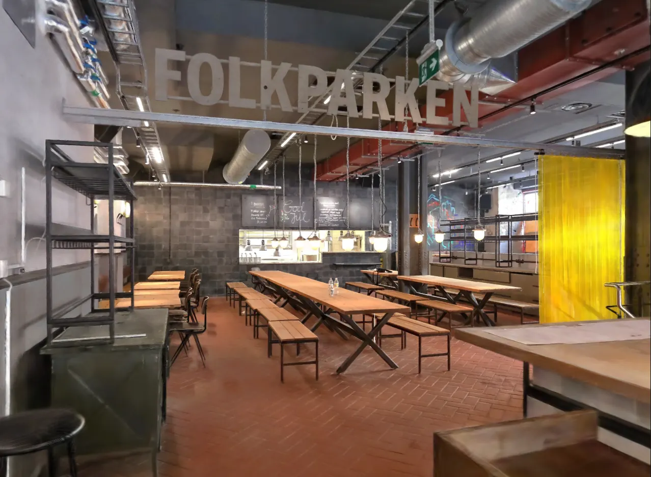
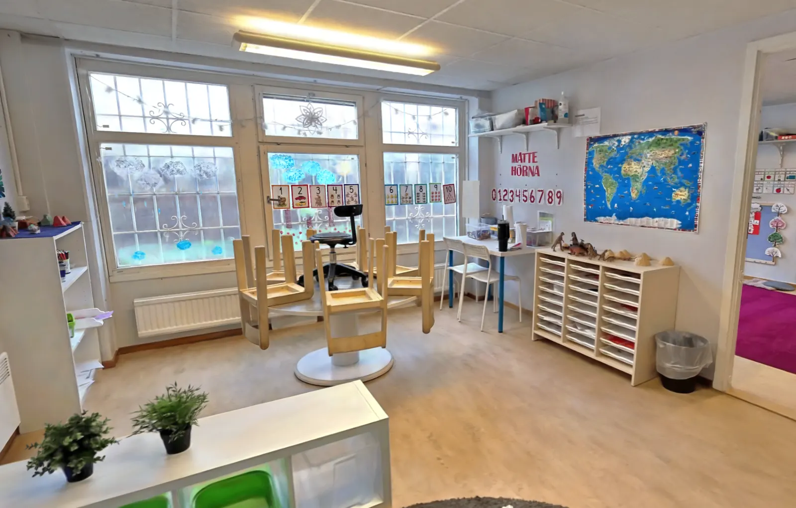
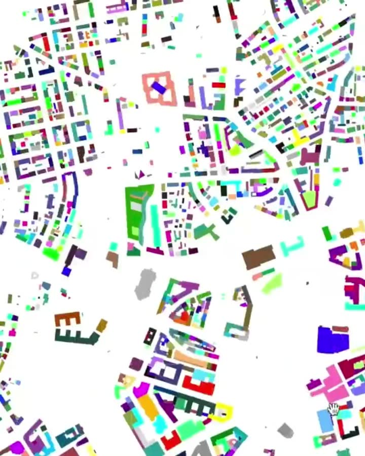
Designing against existing conditions
- Dimensions come from the scan.
- Services and deviations are visible before they turn into change orders.
- Fewer return visits to site during design.
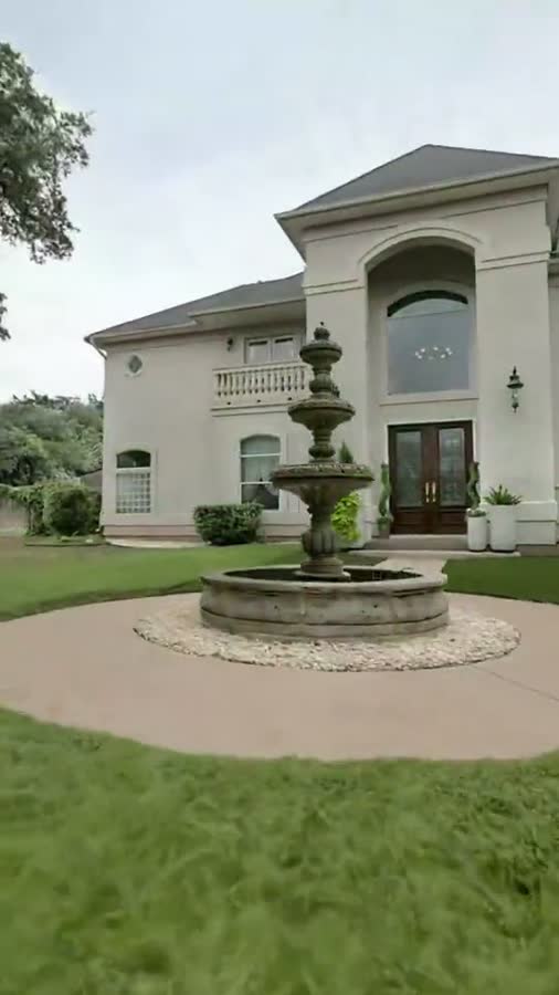
Documentation that follows the build
- Scanning before closing up walls keeps hidden layers available afterwards.
- As-built drawings are produced from the same data as the point cloud.
- Facility management receives documentation that is correct at handover.
What you get
Stop guessing from old plans
Design from real measurements and as-built documentation. Fewer deviations, fewer change orders, and a basis contractors can trust.
Avoid surprises behind the wall
Scan before close-up and see pipes, ducts and load-bearing structures before you start. Less demolition and rework.
Fewer trips back to site
Distances, areas and heights are measured straight from the model. Design questions are answered remotely instead of with another site visit.
No unnecessary conversion
Point clouds, plans and sections are delivered in the formats you already use — E57, DWG, IFC, Revit and more.
How we work
- 1
Scoping
Accuracy, scope, coordinate system and file formats are agreed before anyone leaves the office.
- 2
Capture
Calibrated scanning on site during ongoing construction, with no shutdowns.
- 3
Registration
Individual scans are aligned into one coherent 3DGS-model which can be viewed through the browser.
- 4
Quality control
As-built drawings and point clouds in your formats, ready to load into your tools.
- 5
Delivery
Your formats, in your system. Ready to open, not ready to convert.
Frequently asked questions
Documents against as-built reality.
Responsible for facilities and infrastructure instead? Infrastructure
Read more: Digital twin building lifecycle